
Muscatine Previous Resident Sources
No single roll lists everyone who occupied one Muscatine address. The current parcel record supplies a PIN, deed holder, legal description, and map number. Recorded deeds then establish transfers of title or other interests. For the people who actually lived there, selected city directories, released federal census schedules, newspapers, probate, and building records add a household layer. These sources overlap, but their dates and meanings differ. A current owner may live elsewhere, a renter may never appear in a deed, and a city directory may omit a household between published years.
| Source | Years It Covers | Where Held | What It Shows |
|---|---|---|---|
| Deeds, mortgages, town lots | Archive groups from 1838; online indexes from 1989, images from 2003 | Recorder, Iowa Land Records, SHSI | Parties, title interests, legal description, recording date |
| Muscatine city directories | Selected volumes from 1856 through 1959 | Musser Public Library and digital catalogs | Occupant, trade, business, or residence placement at publication |
| Federal census | Released schedules, 1850 through 1950 | National Archives, FamilySearch, library databases | Household, age, relationship, birthplace, and work |
| Probate | Record groups from 1838; general index 1843 through 1992 | Clerk, Musser, SHSI | Decedents, heirs, executors, addresses, and estate links |
| Sanborn maps | 1883 through 1946 in nine mapped years | Musser and library map resources | Footprint, use, material, block, and number, but no occupant |
| City applications | Current portal; start date not published | SmartGov and Community Development | Site, parcel, status, inspections, and public documents |
Start with the source nearest the date in question. Use the current parcel tools for a modern identity, the Recorder for a title chain, and Musser for older occupant evidence. The online cutoff is not the beginning of Muscatine land records. It marks the point where the search must move from a portal to county books, microfilm, and State Historical Society holdings.
Anchor Muscatine Resident History
A clean backward search begins with the property, not with a person who may share a common name. In Beacon, the Assessor says an address or parcel number can lead to the Owner, Sales, and Summary tabs. MAGIC adds public fields such as PIN, HOUSENUM, ADDRESS, DEEDHLDR, LEGAL, and MAPNUM. Save those fields with the date searched. A PIN and legal description can remain useful when a street label has changed.
The mailing field needs care. It is where tax notices go, not proof that the owner or any other person occupies the site. The parcel address, also called the situs address, locates the property. For a chain of previous residents, keep both fields but never treat them as interchangeable. If Beacon is blocked, use the MAGIC parcel layer, call the Assessor at 563-263-7061, or ask for a specified non-exempt parcel record.
See how the county explains its address and sales fields on the Muscatine Assessor FAQ.
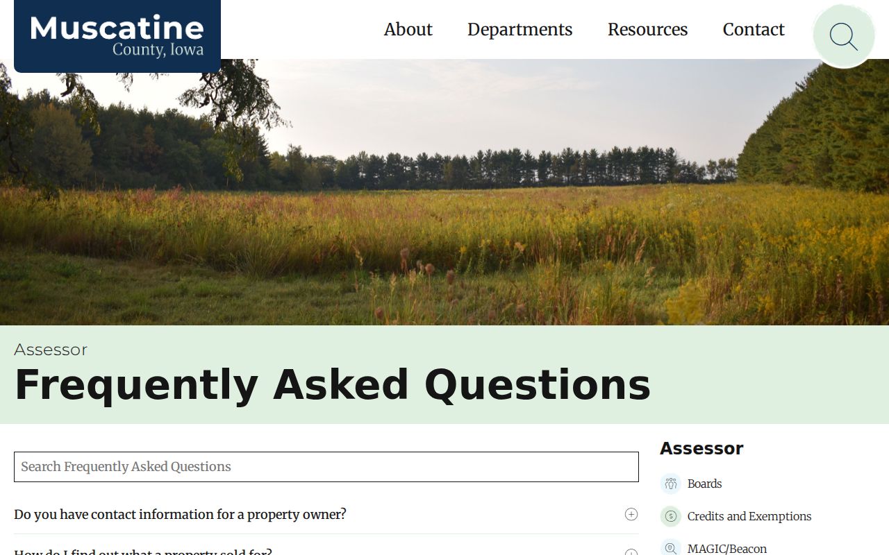
The captured page is a useful checkpoint before moving into deeds because it separates the current parcel facts from the historic ownership chain.
A Blank Muscatine Record Still Works
MAGIC's inspected sample contains a telling local quirk. PIN 1131400014 has no house number or address text, yet it carries a deed holder, the legal description PARCEL A PLAT OF SURVEY SE SE, and map number 118. That is not a failed record. It shows why a previous-resident search must preserve parcel and legal fields rather than forcing every lot into a street-address list.
Use map adjacency, the legal description, plats, and recorded instruments to identify the tract. Broad REST queries can exceed the service transfer limit, so narrow a lookup by PIN, address, or map. A legal description is the written land identity in a deed or plat. It can bridge an older record to the same ground even when the modern number is absent.
Note: A blank GIS address does not mean the parcel lacks ownership or history; the PIN and legal description may carry the trail.
Trace Muscatine Previous Owners
The Iowa Land Records search lets a user choose grantor or grantee, enter a personal or company name, set recorded dates, select document types, sort results, and limit results to records with images. A grantee receives an interest. A grantor transfers one. Start from the current deed holder and walk backward one acquisition at a time, always comparing the legal description.
- Copy the current PIN, legal description, map number, deed holder, and situs from Beacon or MAGIC.
- Search that holder as grantee in Muscatine County. Limit the result to a plausible date and deed-related instrument.
- Open the acquisition record and note its grantor, document number, dates, book and page if shown, legal description, and image status.
- Search the seller as a grantee. Repeat the loop, checking estates, trusts, companies, and each relevant form of a multi-party name.
- At the portal cutoff, call or visit the Recorder, then use SHSI, microfilm, or FamilySearch for the named book, instrument, or date range.
- Grantor and grantee
- The grantor gives or transfers an interest; the grantee receives it.
- Chain of title
- The ordered set of recorded transfers for the same land interest.
- Legal description
- The deed's land description, often more stable than a street number.
Muscatine Deed Records Move Offline
The Muscatine upload dates draw a clear line between web access and archival access. Iowa Land Records indexes begin January 1, 1989, while document images begin January 1, 2003. Earlier deed and mortgage groups are documented by the State Historical Society from 1838. The missing online years are not missing history. They require a more exact request.
Ask the Muscatine County Recorder for a known party, instrument, legal description, book and page, or narrow date span. The counter is at 414 E 3rd Street, Suite 103, and the office lists weekday hours of 8:00 a.m. to 4:30 p.m. Images in Iowa Land Records may also require an account. SHSI and FamilySearch provide the next route for old books and microfilm, while Musser can help connect a deed reference to local directory and newspaper material.
The courthouse fire also warns against broad claims. County history gives December 23, 1864, while a National Register source gives December 17. Many early record groups survive. Without a volume inventory, it is wrong to say the fire erased all early Muscatine title history.
Musser Connects Muscatine Resident Clues
Musser Public Library does not promise a finished address-by-address report. Its History of Buildings and Neighborhoods collection is more useful as a research hub. It joins preservation surveys, nominations, plat maps, Sanborn sheets, city directories, newspaper databases, and Genealogy Room help. Email the reference staff with the address, an estimated construction period, and the years being traced.
The linked source shows how Musser frames local building research.
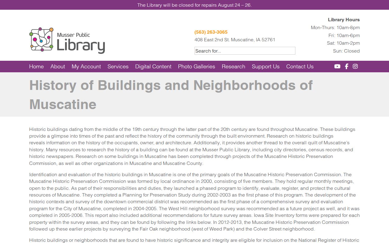
That mix matters because deeds establish an ownership interest, while surveys and maps help prove that the same building stood on the parcel during a former resident's time.
Date Muscatine Resident History
Sanborn fire-insurance maps cover Muscatine in 1883, 1888, 1892, 1899, 1905, 1912, 1919, 1928, and 1946. They can show footprint, use, construction material, block context, and house numbering. They do not name occupants. Compare two sheets to see whether a structure appeared, expanded, changed use, or carried a different number, then return to a directory or census for a name.
For newer parcel events, SmartGov's advanced search can use site address, city, ZIP, parcel, application status, and dates. Public results may show submitted, issued, or finaled dates, inspections, and documents. The portal does not publish its historic starting date, so no result should be read as proof that no old permit exists.
Note: Maps date the place and permits date work; neither source alone proves who lived in the Muscatine home.
Bridge Old Muscatine Resident Addresses
No official dated citywide renumbering table was found. That gap calls for caution, not a guess. Root's 1866 directory can locate a residence through intersections, street sides, and first- or second-door wording. The 2012 city index map adds current streets, city limits, parks, schools, rail lines, industrial areas, and private-road context, but it is not a conversion key.
When an old address breaks, compare its cross streets and compass abbreviations with the Sanborn block, lot or legal description, plat, and nearby landmarks. Ask the City Clerk, GIS or 911 addressing staff, and Musser whether a specific ordinance or historic street index survives. The full historical collection is described in the Muscatine city directories; the task here is only to use those entries as points in one address trail.
Confirm Muscatine's Past Households
Owners are only half the story of previous residents. Selected Muscatine directories begin in 1856 and extend through 1959, with gaps. The 1856 volume can be previewed through its Open Library catalog.
The catalog provides a fixed date for the printed clue. The entry still needs to be matched to the address language and checked against another record.
Build the household trail in a set order:
- Find the address or nearby cross street in the closest available directory year and copy the entry exactly.
- Move to the nearest released census schedule and identify the household, enumeration area, relationships, and neighbors.
- Check the next directory years to bracket an arrival or departure without claiming an exact move date.
- Search Musser's Muscatine Journal archive, which runs from 1873 through April 2019, for moves, marriages, deaths, and estate notices.
- Use probate at the Clerk, Musser, or SHSI when a decedent, heir, executor, or estate ends the trail.
The public census reaches 1950 under the 72-year release rule. Musser holds probate microfilm from 1839 through 1968 in a 91-roll run at the Clerk, with rolls 1 through 17 copied at the library; later paper remains with the Clerk. Each piece has a narrow job. A directory places a listed person near a date. A census describes a household. An obituary or probate file may explain what happened next.
Lawful use. Research Muscatine previous residents for family history, estate work, and the history of a home. Never use a record trail to watch, harass, threaten, or expose a living person.