
Walk a Muscatine Street
A useful Muscatine street directory search moves from the physical place to the records that use it. Ownership is not the same as occupancy. The Assessor and MAGIC can identify a parcel and deed holder, while a deed shows a recorded transfer. A permit names recorded work and may show a public applicant. Historical directories may place a named person at an address in one publication year. Keep the exact street spelling, direction, cross streets, and parcel number as you move among systems.
- Enter the address in the Muscatine County Beacon property search. Record the owner field, physical or situs address, mailing address, parcel ID, and legal description.
- Open MAGIC GIS and click nearby parcel polygons. Check the road, lot, city-limit, and parcel-dimension layers before treating two similar numbers as the same site.
- Use the current deed holder as a grantee in Iowa Land Records. Read the acquisition deed, then search its grantor as an earlier grantee to continue the chain.
- Search SmartGov by site address or parcel for public applications, status dates, inspections, and available documents. A permit proves recorded activity, not who occupied the home.
- For an older household, search Musser Public Library's directories and Sanborn maps. Use the state voter form only to confirm a named registration when every required field is known.
The chain is address to parcel, parcel to owner, owner to deed, then year-specific evidence. If the search turns toward one historical name, the Muscatine city directory collections explain the older volumes without turning a present-day parcel search into a guess about private occupants.
Muscatine Address Record Sources
Different keepers answer different street questions. The coverage table separates current geography, title, city activity, registration confirmation, and historic placement. That distinction matters because the Muscatine street directory has no single master roll.
| Address source | Office or keeper | Street evidence | Access route |
|---|---|---|---|
| Parcel card | Muscatine County Assessor | Owner, parcel ID, situs and mailing addresses, sales, values, exemptions | Beacon; Assessor help by phone or at the office |
| Parcel map | MAGIC GIS partnership | PIN, geometry, house number, deed holder, legal description, map number | Free MAGIC/Beacon map and ArcGIS layer |
| Recorded instruments | Muscatine County Recorder | Grantor, grantee, document date and type, legal description, image status | Iowa Land Records; Recorder counter; SHSI for older groups |
| Applications and permits | Muscatine Community Development | Site, parcel, public applicant, status, dates, inspections, public documents | SmartGov; Chapter 22 request for a specified city record |
| Voter confirmation | Iowa Secretary of State and County Auditor | One named registration and polling information | Required person fields; restricted list request for permitted purposes |
| Historic address sources | Musser Public Library | Directory placement, maps, newspapers, yearbooks, building surveys | Genealogy Room, licensed databases, staff appointment |
The parcel ID is often the best bridge. Street text can vary, but a PIN can lead from the map to the Assessor and then to a legal description at the Recorder. The 2012 city index map adds city limits, schools, parks, rail lines, industrial areas, and private roads, but it is not a roster of names.
Search Muscatine Parcels Carefully
The Muscatine County Assessor FAQ confirms searches by address or parcel number and explains where Owner, Sales, and Summary appear. The live Beacon page was blocked during research, so unverified field order should not be assumed. Its confirmed controls still make a strong by-address starting point.
| Beacon field | Input or result | How to use it |
|---|---|---|
| Address search | Text or autocomplete | Enter the known street address and select the matching parcel. |
| Parcel number | Text | Use a PIN from MAGIC or a tax notice for an exact parcel. |
| Owner | Result field | Read the recorded owner or deed holder, not a list of occupants. |
| Mailing address | Property field | Use as the tax-correspondence destination; it may differ from the site. |
| Sales and Summary | Result sections | Check sale context and the parcel ID before moving to deeds. |
| Map and Layers | Map controls | Turn on Parcels and Parcel Dimensions; the map is not a survey. |
Owner, Sales, and Summary answer separate questions. This is a valuable Muscatine street directory habit: copy the situs and mailing fields as two distinct facts. A tax notice may go to another city, a post office box, a company, or a representative without changing the parcel's physical location.
The successful capture of the SmartGov parcel search shows the city's public starting screen.
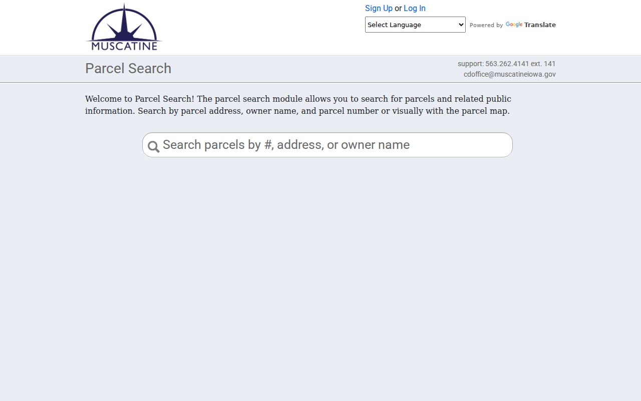
Use that search to establish the city parcel context, then verify ownership and legal fields with the county sources.
Map Muscatine Streets in MAGIC
The MAGIC county parcel layer exposes PIN, house number, address, deed holder, contract holder, legal description, and map number. Map tools let a searcher identify, pan, zoom, measure, select, clear, print, and switch layers. Measurements are for context only. They do not replace a survey.
- Parcel
- A mapped tract with its own county identifier, which may hold one building, many units, or no house number.
- Situs address
- The physical location assigned to the parcel, unlike the separate address used for tax mail.
- Plat
- A recorded map that divides land into lots, blocks, subdivisions, or surveyed tracts.
- Criss-cross directory
- An address-first directory method that helps identify names along a street in a specific publication year.
The MAGIC capture shows why a map view adds detail that a text list misses.
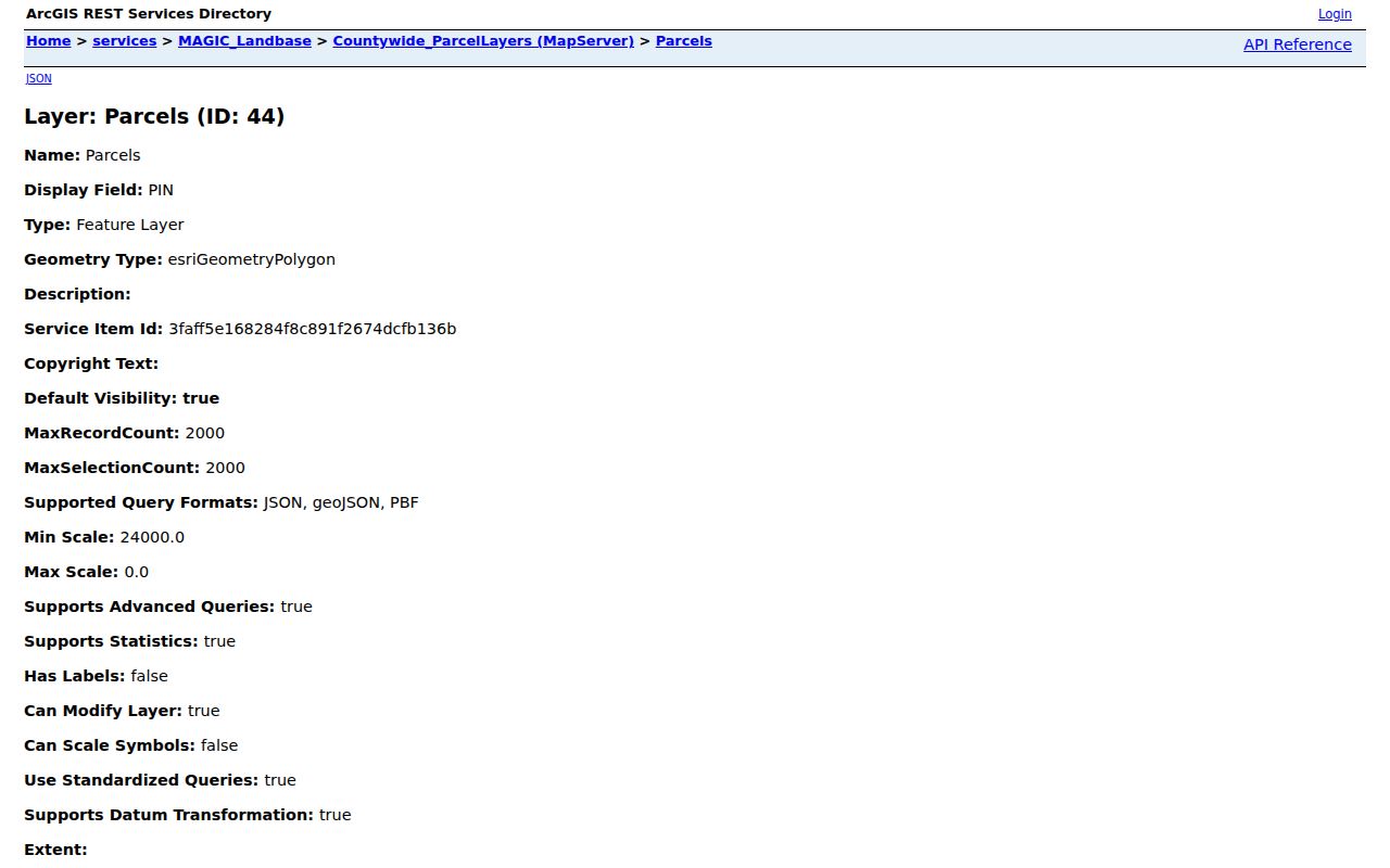
Walk one side of a street, note each PIN and cross street, then clear the selection before moving to the next segment.
A Blank Muscatine Address
One inspected MAGIC feature, PIN 1131400014, has no house number or address but does have the legal text “PARCEL A PLAT OF SURVEY SE SE” and map number 118. Nearby samples display conventional addresses. The example breaks a common myth: a blank address field does not mean the land or its record is missing.
Read the legal description, map number, parcel shape, adjacent PINs, and any recorded plat. The Recorder can then match the legal land text to instruments. For an unnamed tract, those fields are much safer than forcing a modern street number onto it. Parcel splits, combinations, alleys, and highway frontage can also make one line of street text unreliable.
Note: A legal description identifies land, while an address is a practical location label that can change or remain blank.
Follow Muscatine Deeds by Street
Take the current deed-holder spelling and legal description from MAGIC or Beacon into Iowa Land Records. The Muscatine index upload run starts January 1, 1989; online images start January 1, 2003. Older land groups are documented by the State Historical Society from 1838, so an online cutoff is not the start of county record keeping.
Search the current holder as grantee, narrow by county, dates, and deed type, then read the grantor and legal description. Search that grantor as an earlier grantee. Repeat only when the land description still matches. Trusts, estates, companies, married-name changes, and punctuation can alter the party text.
The successful capture of the Iowa Land Records search displays its party, date, document, image, sort, and result controls.
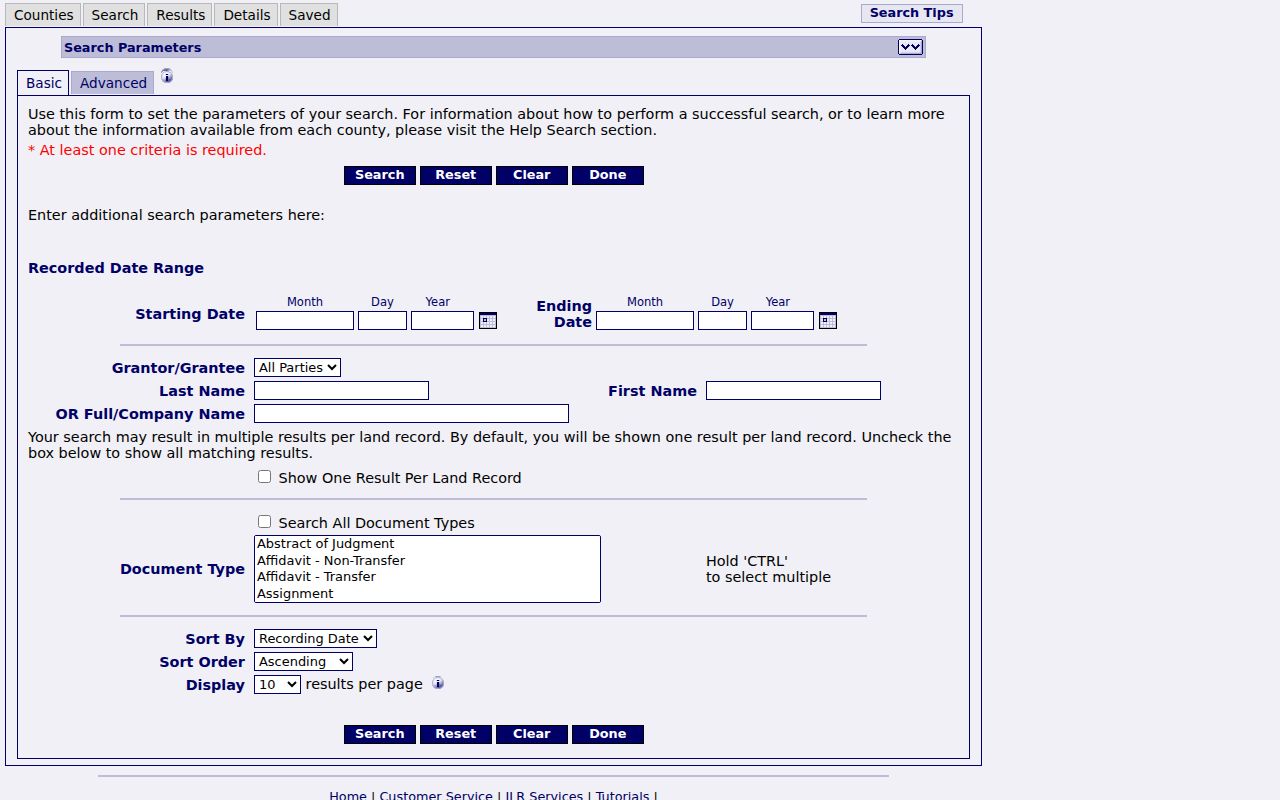
When an image is absent or the date is earlier than the portal run, contact the Muscatine County Recorder or use the SHSI holdings description rather than ending the chain.
Muscatine Permits by Address
The SmartGov advanced application search accepts an application number, type, process status, submitted, issued, and finaled dates, site address, city, ZIP, and parcel number. Public results can include status history, inspections, deficiency notices, permit cards, and occupancy documents when the file permits public display.
The search is evidence of recorded work at a site. It does not establish title or identify everyone there. SmartGov's historic start is not published, and a separate public code-enforcement index was not located. For a specified city record that is not online, use the City of Muscatine records officer and Iowa Chapter 22 request route.
The advanced application screen shows how several address and date filters can narrow a public file search.
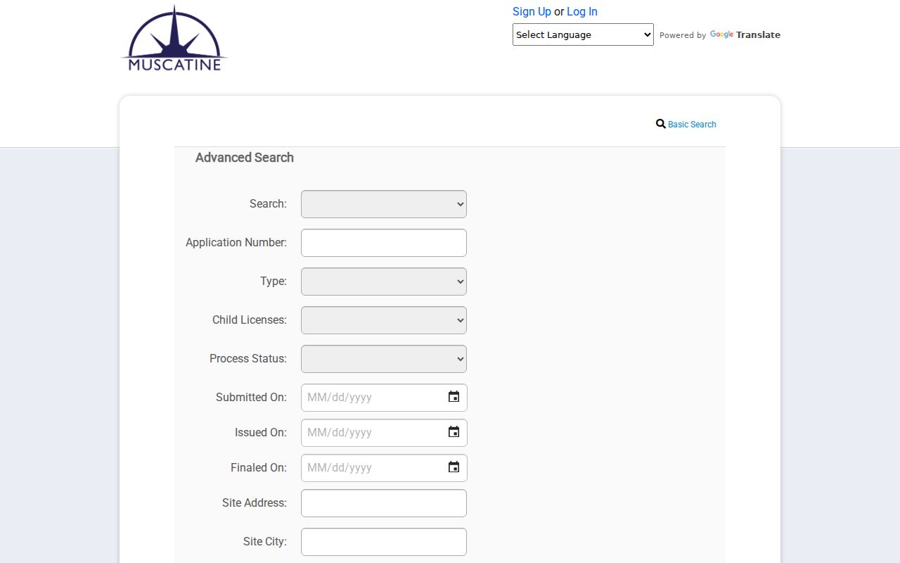
Match the parcel number in each result before joining a permit to an Assessor or deed record.
Voter Limits on Muscatine Streets
Iowa's public voter lookup is a confirmation form, not a Muscatine street directory. It requires first name, last name, ZIP, house number, and full date of birth. Without those facts, it cannot scan a road or produce the occupants of each house.
A full list request follows Iowa Code sections 48A.38 and 48A.39. It is limited to a request for a vote, a genuine political purpose, bona fide political research, or an elected official's bona fide official purpose. Protected voter entries are excluded, and ID numbers are not released. A registration address still says nothing about every person in a household.
Note: Ask the Muscatine County Auditor to correct a registration record; do not treat a stale status as proof of present residence.
Older Muscatine Street Placement
Musser Public Library holds selected city directories from 1856 through 1959 and Sanborn maps for nine identified years between 1883 and 1946. Root's 1866 volume uses placement such as “ss,” “ws,” “cor,” “res,” and first or second door rather than today's full address format. Search a road spelling, direction, intersection, and nearby landmark.
No official citywide street-renumbering or conversion table was found. Bridge an older placement with a Sanborn block and house number, deed legal description, plat, and cross streets. The city index map and MAGIC can then test the modern geography. A gap in one directory year may simply reflect a missing volume.
Muscatine Street Boundaries Differ
Muscatine city covers 18.18 square miles within a 437.4-square-mile county. A postal city, incorporated limit, county jurisdiction, parcel situs, and tax mailing address can therefore disagree. Compare USPS delivery data, the city-limit layer, MAGIC, and the Assessor instead of assuming that “Muscatine” has one boundary.
That geographic check matters near private roads, industrial tracts, rail lines, and county land. The by-street result should state which boundary it uses. It should not turn a mailing city into proof that the parcel lies within city limits.
Limits of Muscatine Street Records
Public address sources can show parcel geometry, recorded owners, legal descriptions, some permit events, and names printed in historical directories. They cannot reveal every household member, a private occupant with no indexed record, utility customer lists, delivery data, DMV addresses, protected voters, or confidential case and vital-record details.
A directory entry or tax mailing field may also be old. Confirm the date and custodian. Never publish a protected address, infer who shares a home, or treat a commercial compilation as an official county roll.
Lawful use. Use Muscatine address records for lawful personal research, property history, genealogy, and civic review. Never use them to stalk, harass, threaten, or harm anyone.