
Muscatine ZIP Directory Coverage
Official material inspected for Muscatine confirms one core delivery ZIP. A second number appears in isolated older, institutional, or vendor records, but the current USPS city-and-state result was not captured and the inspected Domestic Mail Manual label did not confirm it. Accuracy matters more than a long list. Nearby communities in Muscatine County have their own postal identities and should not be folded into the city merely because county records share the Muscatine name.
| ZIP Code | Areas Covered | Post Office | Notes |
|---|---|---|---|
| 52761 | Core Muscatine postal destination | Muscatine Post Office, 3100 Cedar St | Confirmed in current USPS office and label material; may extend beyond city lines |
| 52762 | Not established by the inspected current source | Current office status unresolved | Older or institutional appearances require a fresh USPS check |
The Muscatine Post Office listing gives 52761-9998 for the Cedar Street office. That suffix is an office address format, not evidence that every city property shares one ZIP+4. No additional ZIP was verified as serving the city, and 52762 must not be presented as an active delivery, PO-box, or unique ZIP until USPS confirms its present status.
A Muscatine ZIP code directory is a postal tool first. It does not define school attendance, precinct, parcel ownership, municipal jurisdiction, or residence. Those questions require the office that owns the relevant boundary or record.
Verify Muscatine ZIP Codes
The USPS ZIP Code Lookup provides three useful modes. By Address uses street address, city, state, and optional company or unit details. By City and State lists postal results for a place name. Cities by ZIP reverses a known code. USPS warns that a standardized result does not confirm that a person or business is now at the address.
| Mode | Required fields | Best use |
|---|---|---|
| By Address | Street, city, state | Standardize one delivery address |
| By City and State | City and state | Check ZIPs currently tied to Muscatine |
| Cities by ZIP | ZIP | Check accepted postal city names |
Use the returned delivery format as one layer of evidence. Then check city GIS for the municipal line and county parcel data for situs and legal description. If 52761 and 52762 appear in conflicting records, send the exact address to USPS and the relevant GIS custodian rather than guessing from an old directory.
Map Muscatine ZIP Geography
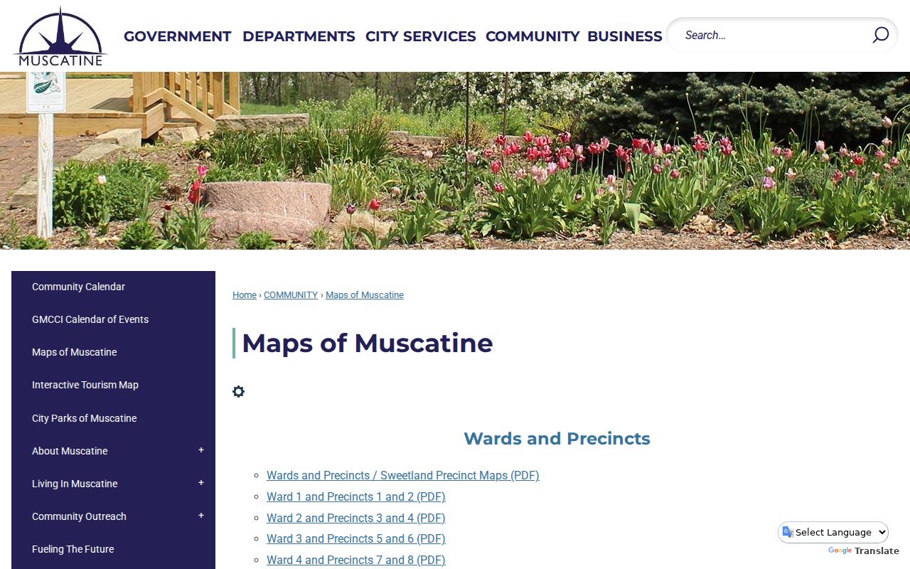
The City of Muscatine maps collection links ward and precinct, street, park, transit, and MAGIC maps. Its 2012 Index Map adds a street index, city limits, parks, schools, industrial areas, rail lines, and private roads. The map does not turn postal geography into a resident list, but it can test whether a delivery city and an incorporated boundary agree.
The captured Muscatine maps page is the successful image assigned to this ZIP code directory.
Use these local layers after USPS confirms the delivery label. Precinct, street, and parcel views answer different boundary questions.
Muscatine city covers 18.18 square miles, while Muscatine County spans 437.4 square miles. The 2020 counts were 23,797 for the city and 43,235 for the county. Those figures explain why a Muscatine postal city, a city-limit parcel, and a county record jurisdiction can disagree. They are not ZIP population totals.
Decode Muscatine Address Fields
Parcel records use several address-like fields. They should not be merged. A PIN or parcel ID identifies the tract. The legal description describes the lot, survey, section, or tract. MAPNUM is a local map code. ADDRESS and HOUSENUM describe the situs, meaning the physical parcel location. A tax-mailing field shows where notices go and may use a different ZIP.
- ZIP
- A five-digit postal routing code, not a city boundary.
- ZIP+4
- A delivery refinement for a smaller segment, unit group, or postal operation.
- PO-box or unique ZIP
- A code reserved for boxes or a high-volume recipient; none besides the unresolved 52762 question was verified here.
- Carrier route
- A USPS delivery sequence that does not equal a public resident roll.
A street address can change while the parcel ID and legal description remain more stable. The sampled MAGIC parcel 1131400014 even has a blank address field but a detailed survey description and map number. That is why a ZIP-only search can miss valid land evidence.
Search Muscatine Residents by ZIP
Local portals use ZIP in different ways. SmartGov advanced application search accepts Site ZIP along with site address, city, parcel number, type, status, and date ranges. It returns public permit or development applications, not all people or parcels. The voter form requires ZIP with a first name, last name, house number, and full birth date. Beacon and MAGIC search by owner, address, parcel, and map; no verified ZIP-wide owner export was found.
- Standardize the exact address with USPS, then note the five-digit ZIP and any ZIP+4.
- Compare the city map, MAGIC parcel, situs field, PIN, legal description, and mailing address.
- Use the Iowa voter form only for a known person with every required identity field.
- Search SmartGov by Site ZIP when the question is a public application or permit, not a household.
Once the ZIP narrows the area, the Muscatine street directory handles the street and parcel chain. Keep the source date. Postal, permit, voter, and assessor records update on different schedules.
Note: A ZIP match narrows geography but never proves that every named owner, applicant, or voter currently occupies the address.
Filter Muscatine Records by ZIP
The SmartGov advanced search is the clearest local portal with a documented ZIP field. Site Zip accepts up to ten characters and sits beside site address, city, parcel, application type, status, and submitted, issued, or finaled dates. A result documents a public application tied to that site. It does not identify all residents in the postal area.
| Field | What it narrows | What it cannot prove |
|---|---|---|
| Site ZIP | Applications at sites using that ZIP | Complete parcel or household count |
| Parcel Number | One identified parcel | Current occupancy |
| Status and dates | Application stage and time span | Residence of an applicant |
| Site Address / City | Public project location | Postal boundary accuracy by itself |
The voter lookup takes a ZIP but is even narrower. It confirms one registration when the name, house number, and date of birth also match. Iowa voter-list access has statutory purpose and use limits, so it cannot be republished as a ZIP-wide directory.
Trace Muscatine ZIP Address History
Older Muscatine sources may predate ZIP codes or use a street form that no longer matches USPS. Musser Public Library directories can connect an occupant to an old address, while Sanborn maps and the city street index can place that address on a block. A plat or legal description then bridges the old wording to the current parcel. No complete historical reverse-directory run or ZIP index was found, so do not add a modern ZIP to an old entry unless a later official source supports it.
When a historical address resists a ZIP code lookup, search cross streets, house or block number, parcel PIN, legal description, and map references. Ask City GIS or county 911 addressing about a specific conversion. This preserves the difference between what the old record actually says and a present-day delivery label.
Know Muscatine ZIP Search Gaps
No official source inspected supplied a ZIP-by-ZIP city population, registration count, household roster, utility-customer search, school-zone lookup, active split year, or complete carrier-route resident list. That absence should stay visible. Census QuickFacts describes city and county geography, not postal population. SmartGov describes public applications, not all parcels. Voter confirmation requires one person's full identity inputs.
If a ZIP code directory result conflicts with a deed, permit, or old directory, do not fill the gap with a generic ZIP website. Verify postal status through USPS, physical location through GIS, ownership through the Assessor and Recorder, and historical wording through Musser or State Historical Society sources. Each office can correct only the field it maintains.
Muscatine ZIP and City Limits
USPS draws delivery geography, while Muscatine draws municipal limits and Muscatine County maintains countywide records. An unincorporated parcel can use Muscatine as its postal city. A city parcel's owner can receive tax mail in another ZIP. Neither fact changes the parcel's legal description or proves who occupies it.
Use a four-part comparison when records disagree: USPS for the delivery address, city or county GIS for the boundary, the Assessor for situs and tax-mailing fields, and the Recorder for the legal description. Historical work adds the 2012 street index, Sanborn maps, plats, and Musser directories. No official dated city street-renumbering or annexation-readdressing table was located, so ask City GIS, county 911 addressing, or the clerk for a specific ordinance or map.
Boundary check. A Muscatine ZIP code is not proof of city residency, parcel ownership, school assignment, precinct, or current occupancy.